Overview
Located in the heart of the rugged Texas Hill Country, the cool pristine waters of the "Blue Hole" have attracted local swimmers for decades. Threatened by development, the swimming hole and surrounding 126 acres were purchased in 2005 by the City of Wimberley to protect the beloved icon, which had nearly been "loved to death" by overuse, and to create a sustainable regional park. Informed by a stakeholder-led design process, the design team created a plan that protected and enhanced the site's ecologically sensitive areas, despite the addition of 320,000 sf of new park development. Today, the park offers an enhanced swimming hole, an extensive interpretive education program, and active recreation amenities for thousands of annual visitors.
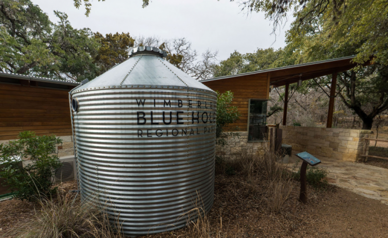
Location
100 Blue Hole Ln.
Wimberley, Texas 78676
Completion Date
Phase I: 2011; Phase II: 2012
Program Details
Designer
Design Workshop
Land Use
Park/Open space
Client
City of Wimberley, TX
Project Type
Park
Stream restoration
Size
126 acres
Budget
$3.45 million
Landscape Performance Benefits
- Protects 93 acres or 96% of the undisturbed area of the site, which was identified as potential habitat for 19 different endangered, threatened, or species of concern.
- Increased plant species richness by 17% with the addition of 31 ecologically valuable native hardwood, prairie grass, and forb species.
- Maintains or reduces stormwater runoff flow rates site wide, despite the addition of 320,000 sf of new park development.
- Saves an estimated 600,000 gallons of potable water per month by using drought tolerant turf and on-site well water for recreation field irrigation. This results in an estimated annual cost savings of $25,500.
- Saved approximately $230,000 in mulch costs by double-shredding the trunks of invasive cedars removed from the site and using this to cover all designed mulch areas.
- Saved approximately $40,000 by reusing excavated limestone found on-site instead of purchasing boulders.
- Improved user satisfaction with new park amenities by 165%, perceptions of safety by 101%, and perceptions of visual appeal by 75%, as compared to previous conditions.
- Increased visitation by 60% in the first year, generating an estimated $112,000 in entry fee revenue. In the second year, visitation nearly doubled again to 31,000, generating an estimated $217,000.
Sustainable Features
- Impervious surfaces were limited to 7.8% of the site and 70% tree coverage was maintained even though an additional 320,000 sf of park amenities and active programmed space were added.
- 365 linear feet of the Cypress Creek streambank was stabilized (85% of total length) by amending soils and adding 5,300 sf of native cover vegetation (mostly grasses).
- Four designated limestone slab access points to the Blue Hole swimming area were created to allow users to climb into and out of the water without damaging tree roots or causing erosion of the streambank. The slabs were located by mapping informal use patterns.
- Ten microdetention ponds (rain gardens) connected by bioswales capture stormwater in eight different drainage zones, slowing, infiltrating, and filtering the water before it enters the Cypress and Deer Creeks.
- A 5,100-gallon cistern collects rainwater from the Community Pavilion roof and recycles it for use in the restroom toilets. A 2,900-gallon cistern collects water from the office and bathhouse roofs and stores it for use in irrigating the entry garden during drought conditions.
- 100% of the new plantings are native to the region, including 7 species of hardwood trees and custom seed mixes of prairie grasses and forbs.
- To ensure resiliency against flash floods, soil composition and species were selected for quick plant material establishment, stone paving was mortared to a concrete base, and custom site furniture was anchored to a concrete slab.
- Park amenities include 4.6 miles of recreation trails, 50% of which are ADA accessible, and a connection to the regional Ann and Roy Butler Hike and Bike Trail.
- Indigenous materials were incorporated across the site to reflect the regional vernacular and to reduce economic and environmental costs. Limestone boulders, excavated during construction, were used for retaining walls, trail markers, seating features, and landscape accents. Invasive cedars trunks removed during landscape restoration were repurposed as bollards, fencing, tree stakes, light poles, and art features. Remaining cedar material was double shredded into mulch for the planting areas and soft-surface trails.
- Ten interpretive signs educate users about the sustainable design features, the geology of the Texas Hill Country (specifically Blue Hole), the history of the Blue Hole, and the native vegetation. Signs are placed in high-activity locations adjacent to the referenced feature.
Restoring the Park for the Future
To restore Blue Hole's banks, invasive cedars were removed, a new understory was established, and limestone recreation access points were added to protect the cypress from further damage caused by swimmers. Through low-impact development principles and land sensitivity analysis, the design team minimized the impact on water quality and native flora and fauna by restricting new development to areas previously damaged by former agricultural use and by limiting impervious surfaces to less than 8% of the site -- a new precedent for parks in this area. To ensure signage and structures were in keeping with the design character of the Texas Hill Country, native stone and hardwood were used. To address economic stability, a custom Operations and Maintenance Plan was created to ensure the park remains fiscally sustainable for years to come.
